Interactive Data Analysis
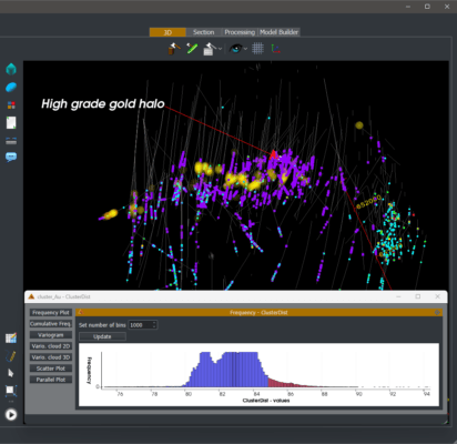
Explore intricate inter-data relationships with point similarity clustering. Group elements seamlessly with dynamic selections directly linked to 2D plots. GEOREKA’s Advanced Data Analysis transforms geological exploration, providing unparalleled accuracy and depth in data interpretation. Elevate your insights — start exploring with GEOREKA today.
Data-driven implicit modelling with Machine Learning
Revolutionize your geological modelling with GEOREKA’s integrated Machine Learning. Be among the first to seamlessly merge the power of ML with traditional digitizing and implicit interpolation techniques. Unlock a new era of efficiency in your geological modelling. GEOREKA ensures that every part of your data is not just analyzed but also modelled intelligently. Elevate your efficiency with integrated Machine Learning — where innovation meets geological excellence.


Domain-Based Modelling
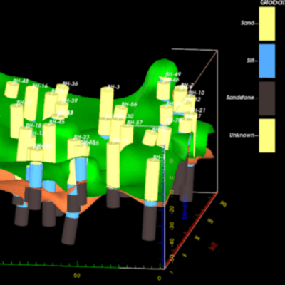
Discover unprecedented flexibility with Signed Distance Functions (SDFs). Combine SDFs representing domains into intricate Domain Relationships and create realistic 3D models as Tetrahedra, Solids or Blocks. GEOREKA redefines geological modeling, bringing precision, clarity and flexibility to the forefront. Do not let software constrain your modelling. Elevate your insights — explore the future of geological modelling with GEOREKA.
Affordable Licensing
GEOREKA paves the way for accessible advanced modelling with our affordable floating licensing plans, allowing seamless collaboration across your team from exploration to mining operations. Opt for best-value annual leases, providing budget-friendly access to the most powerful tools. GEOREKA ensures that advanced geological solutions are within everyone’s reach, no compromise needed. Choose affordability — choose GEOREKA for your geological endeavors.


Flexible Workflows
Experience the epitome of versatility with GEOREKA’s explainable and re-usable Workflows and enjoy the flexibility of reusable elements. GEOREKA empowers you to shape your geological journey with precision and efficiency, offering a suite of tools that adapt to your unique needs. Elevate your workflows — explore the boundless possibilities with GEOREKA.
User-Friendly Interface
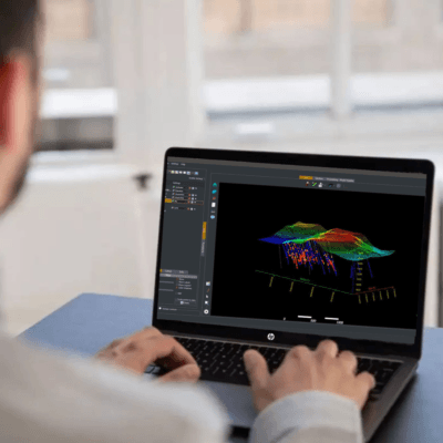
Immerse yourself in a world of geological precision with high-end graphics and dynamic cross-sections. GEOREKA’s cutting-edge technology transforms complex data into stunning visuals, enhancing your exploration journey. Navigate seamlessly through streamlined workflows that prioritize efficiency without compromising detail. Elevate your geological analyses with the perfect fusion of aesthetics and functionality. Unleash the power of GEOREKA for a truly unparalleled geological modelling experience.


