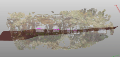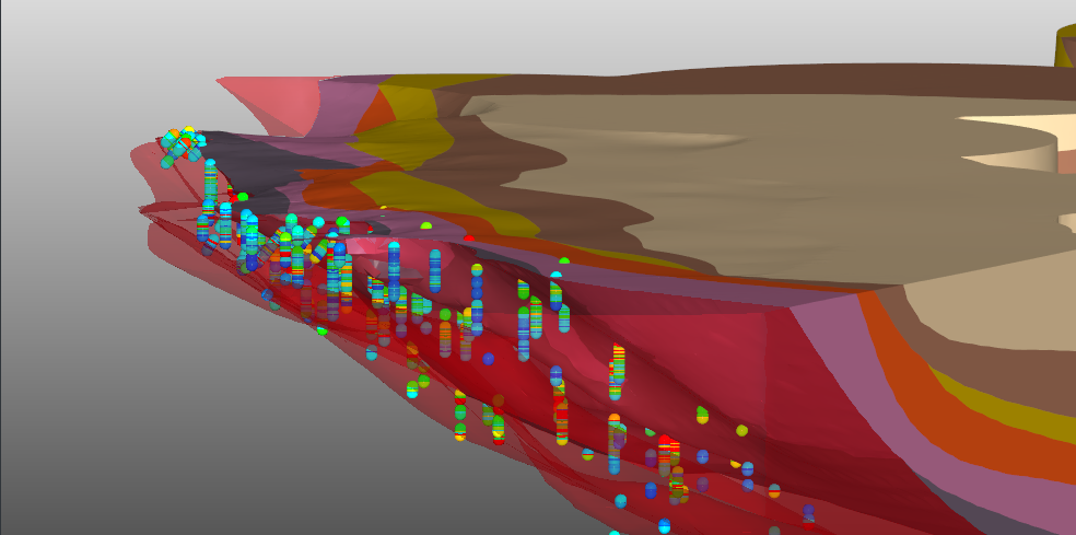
3D Fault Model: an example
An example how a 3D faulted geological model can be created in GEOREKA.
Read More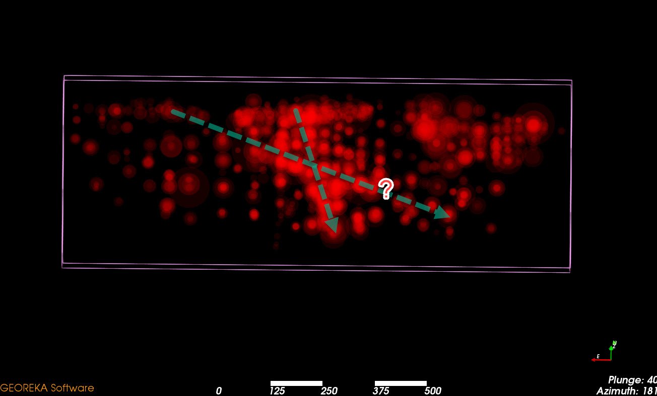
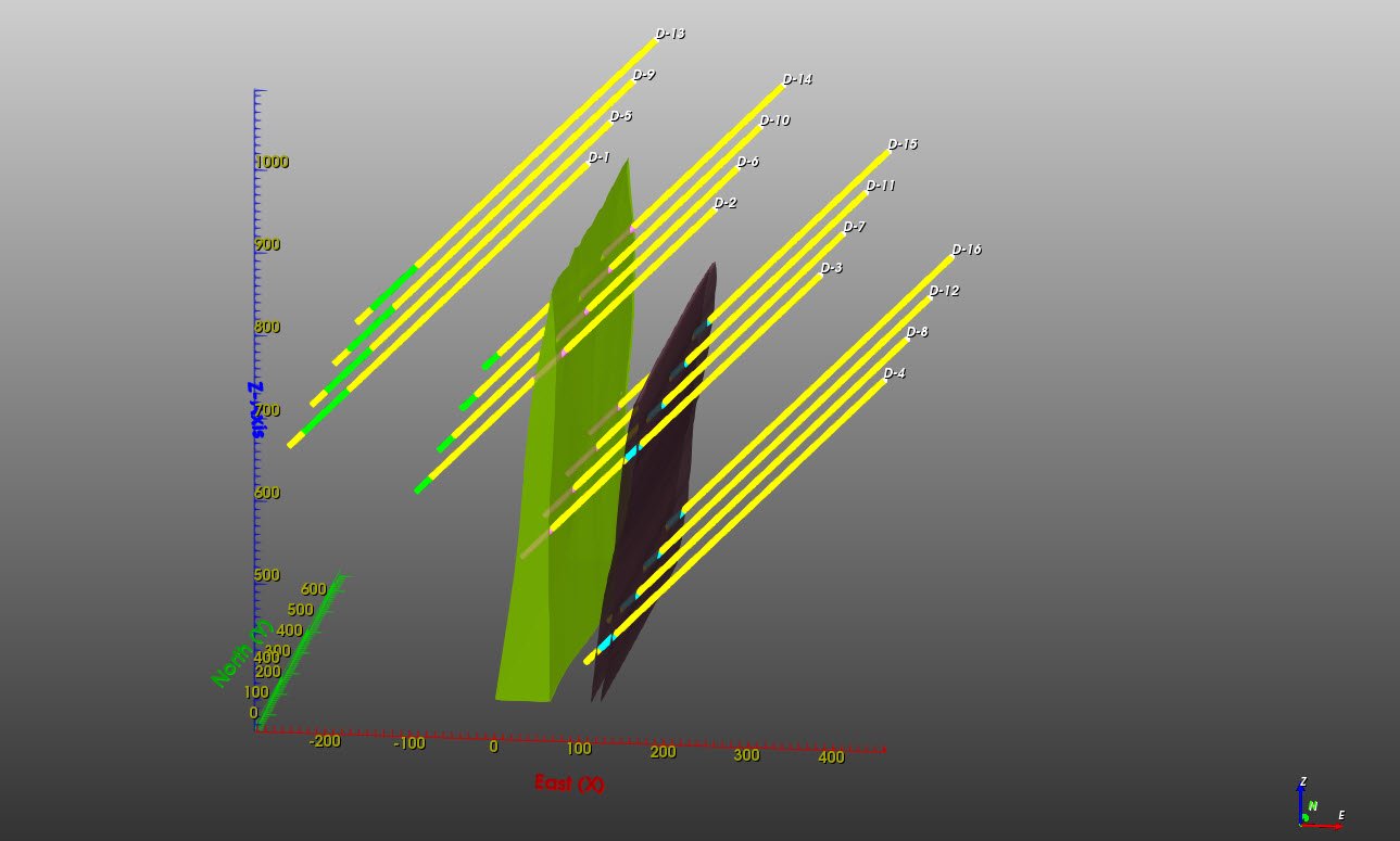
Geological software to help visualizing mineralization trends
Ideas regarding visualization of trends in mineralization
Read More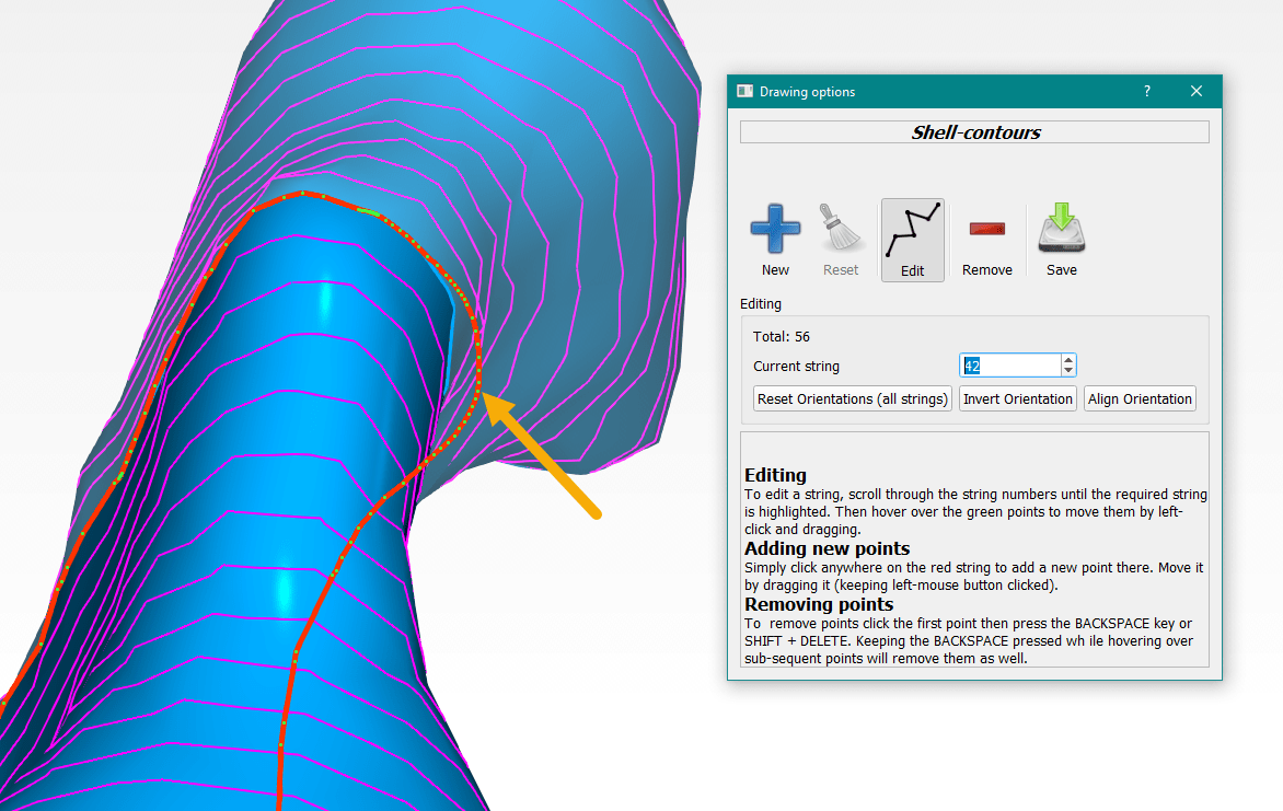
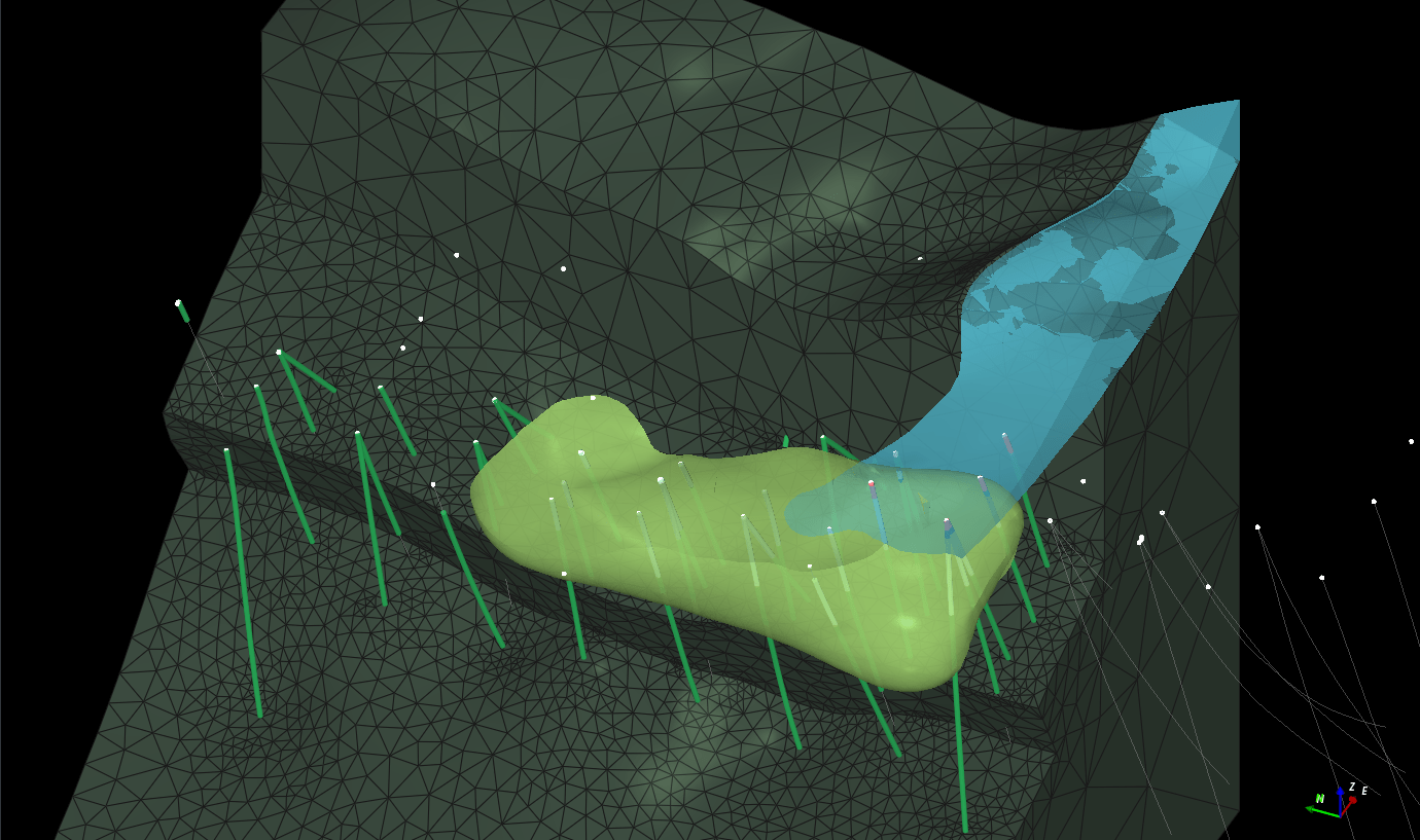
How to edit a (given) grade shell or other surfaces?
A brief article explaining some of the tools to locally edit grade shells based on interpretation or newly available data.
Read More